Viimeksi syötetyt A. E. Nordenskiöldin kokoelman irtokarttoja
Viitteet 1-20 / 342
-
Carta Marina
(1572) -
Karte vom Ural Gebirge
([S.l.], 1840) -
Specialkarte von Nord-Sibirien zwischen Lena und Beringstrasse : in 2 Blatt
(Gotha : Justus Perthes, 1879) -
Engelholm [och] Landskrona
([Stockholm], 1860) -
Bay of Bengal : a survey of the sea face of the Soondurbuns
([London], 1876) -
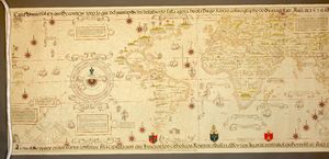
Carta universal en que se contiene todo lo que del mundo se ha descubierto fasta agora
(London : W. Griggs, 1887) -
Finlands geologiska undersökning = Suomenmaan geologillinen tutkimus
(Helsingfors, 1900) -
Suomenmaan kartasto = Kartbok öfver Finland
(Helsinki, 1878) -
Topographical atlas of the city of New York
(New York, 1874) -
Carta do Imperio do Brasil
([S.l.], 1875) -
Isogonen und isoclinen Karte des europäischen Russlands für die Epoche 1880. o.
([Sankt-Peterburg], 1880)


